Mandaue is FireChecked! Here’s to Mandauehanons outsmarting fires.
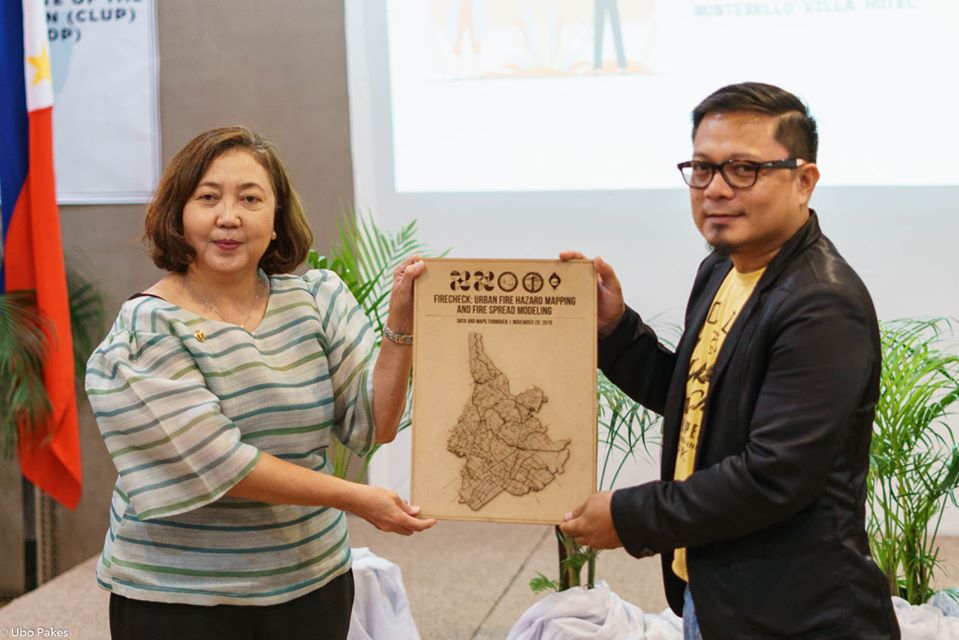
After an intensive 1.5 years of research, we have officially turned over sets of fire hazard maps, fire risk maps, and neighborhood evacuation maps to the local government unit of Mandaue and the Bureau of Fire Protection 7.
Mandauehanons now have reliable maps that help map a good plan. This entails data-informed and evidence-based approaches to planning and policy and decision-making to avert fire disasters.
Present in the FireCheck Turnover Ceremony on November 29, 2019, where the project’s key collaborators represented by Ssupt. Rogelio Bongabong (Asst. Regional Director for Administration-BFP7), Architect Marlo Ocleasa (Head, Mandaue City Planning and Development Office), Engr. Krister Cosedo (Head, Mandaue City Disaster Risk Reduction and Management Office) as well as Atty. Liza D. Corro (Chancellor, UP Cebu), and the chiefs of Mandaue’s 27 barangays.
Fire hazard and risk mapping are crucial first steps in disaster risk management. Especially in the case of urban neighborhoods, fire hazard and risk maps will be effective tools for promoting risk awareness and for designing evacuation procedures, among others.
Now more than ever, Mandauehanons are capacitated to put out fire before it begins.
(Taken from FireCheck Facebook and Photos by Ubo Pakes)


