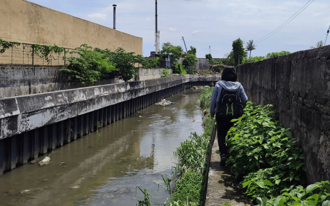
Survey teams from the SMART-TURF CURB Flood Project inspect areas in Mandaue City to ascertain the accuracy of flood models. Residents are interviewed to get the actual flood levels experienced in their localities. Data from this survey will be compared with the values of the generated flood models to improve the hazard maps of the city.
Do you have photos of floods in your area? PM us the photos and locations. These will immensely help in generating the best flood hazard maps.
UP Cebu CURB Survey Team inspects select Mandaue City areas